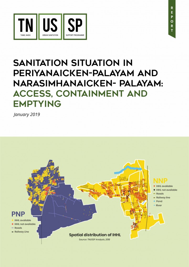
Sanitation Situation in Periyanaicken-Palayam and Narasimhanaicken-Palayam: Access, Containment and Emptying TNUSSP (2019)
TNUSSP carried out a geographic information system (GIS) based sanitation mapping of households and establishments in the two town panchayats of PNP and NNP with an aim to primarily understand the nature of containment and on-ground desludging practices to enable more effective planning. It also included the preparation of GIS-linked database of properties (with households and establishments) covering key FSM parameters. With both spatial and non-spatial inputs, the study aimed to support the Town Panchayats in effective decision-making across the sanitation chain.
Bibliographic information
TNUSSP (2019). Sanitation Situation in Periyanaicken-Palayam and Narasimhanaicken-Palayam: Access, Containment and Emptying Tamil Nadu Urban Sanitation Support Programme by Indian Institute for Human Settlements, Bengaluru, India
Filter / Tags
English
Downloads
Sanitation Situation in Periyanaicken-Palayam and Narasimhanaicken-Palayam: Access, Containment and Emptying
Type: application/pdf
Size: 6.62 MB

Published in: 2019
Pages: 104
Publisher:
Tamil Nadu Urban Sanitation Support Programme by Indian Institute for Human Settlements, Bengaluru, India
Author(s):
TNUSSP
Uploaded by:
IIHS
Indian Institute for Human Settlements
