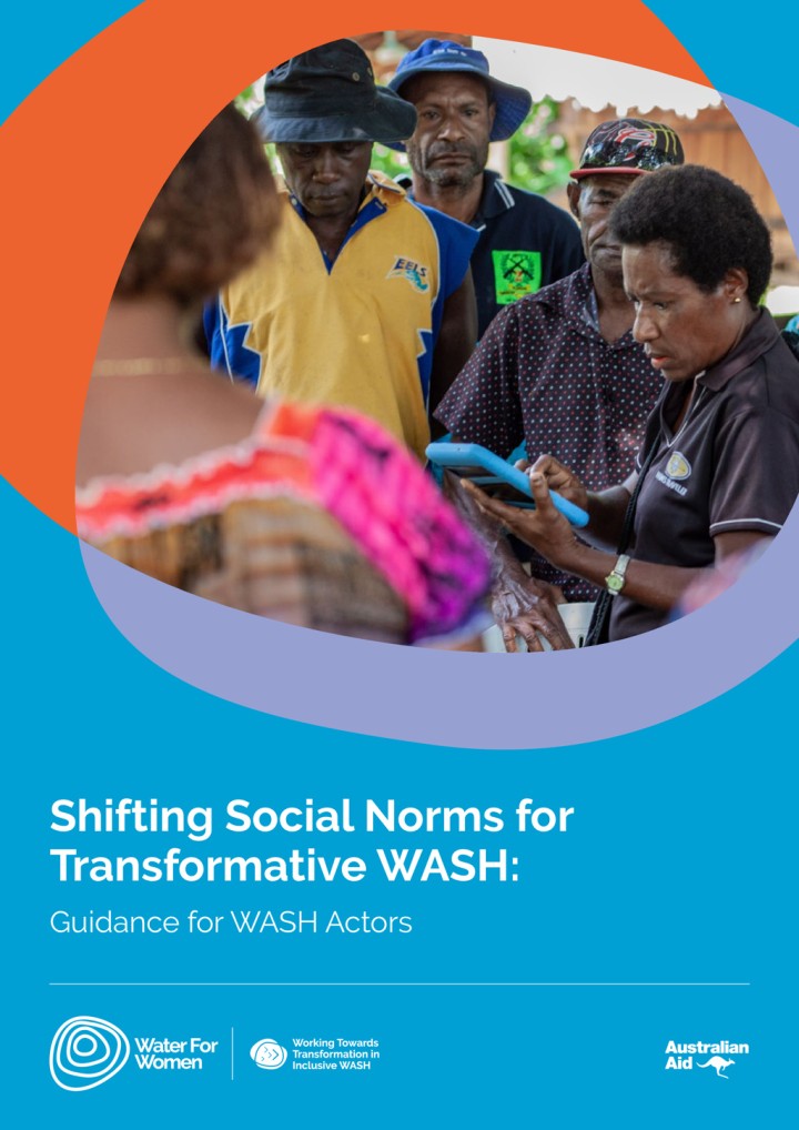
Water for Women (2022) Shifting Social Norms for Transformative WASH: Guidance for WASH Actors
This review, along with the allied guidance, is intended to support WASH actors with relevant examples of how to change harmful and exclusionary social norms in the context of WASH programming. WASH organisations are those that wholly or mostly work on WASH, in forms including advocacy, infrastructure, governance, finance, capacity development and behaviour change. This review is intended for those who would like to take […]
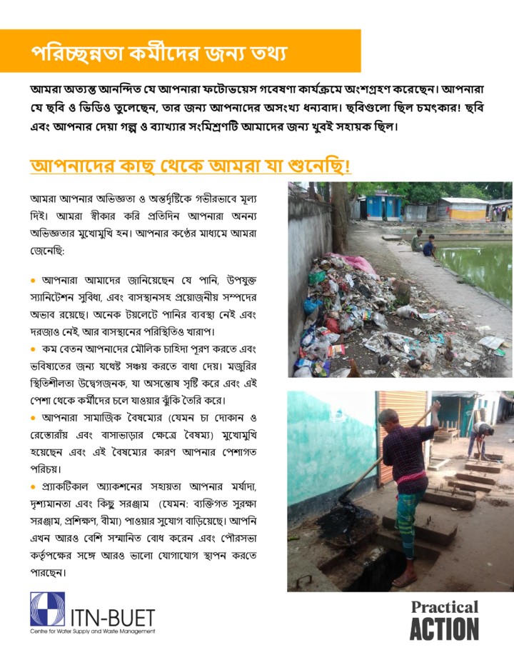
ITN-BUET Centre for Water Supply and Waste Management (2024) পরিচ্ছন্নতা কর্মীদেি জন্য তথ্য
আর্মিা অতযন্তআন্ন্দিত যেআপনারা ফদ াভদ়েস গদেষণা কাে যক্রদর্ম অংশগ্রহণ কদিদেন্।আপনারা যে েরে ও রভরিও তুদেদেন্, তাি জন্য আপন্াদের অসংখ্য ধন্যোে। ছবিগুল া রেে চর্মৎকাি েরে এেং আপন্াি যে়ো গল্প ও েযাখ্যাি সংরর্মশ্রণট আমালের জনয খ্ুেই সহা়েক রেে। আপনালের কাে যথ্দক আর্মিা ো শুদন্রে আমরা আপনার অভিজ্ঞতা ও অন্তর্দৃষ্টিকে গিীরিাকে মূল্য ভর্ই। আমরা স্বীোর েভর প্রভতভর্ন আপনারা অননয অভিজ্ঞতার মুকিামুভি হন। আপনার েকের মাধ্যকম আমরা জেননভি: • […]
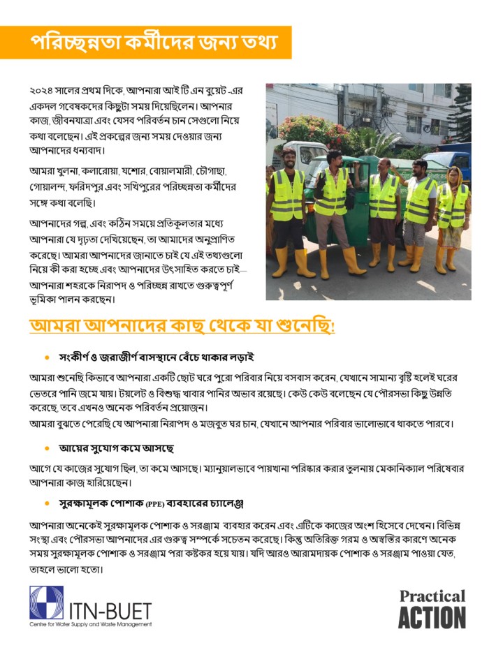
ITN-BUET Centre for Water Supply and Waste Management (2024) পরিচ্ছন্নতা কর্মীদেি জন্য তথ্য
২০২৪ সালের প্রথম দিলে, আপনারা আই টি এন বুয়েি -এর একদল গলেষেলির ককছু িা সমে কদয়েকছয়লন। আপনারো জ, জীেনযাত্রা এেং যযসে পদরের্তন চান যসগুলো দনলেে থা েলেলেন। এই প্রেলের জনয সমে যিওোর জনয আপনালির ধনযোি। আমরা খুেনা, েোলরাো, যল ার, যোোেমারী, যচৌগাো, যগাোেন্দ, ফদরিপুর এেং সদখপুলরর পদরচ্ছন্নর্া েমীলির সলে েথা েলেদে। আপনালির গে, এেং কটিন সময়ে প্রদর্েূ ের্ার মলধয আপনারা যয িৃঢ়র্া যিদখলেলেন, র্া আমালির অনুপ্রাদির্ে […]
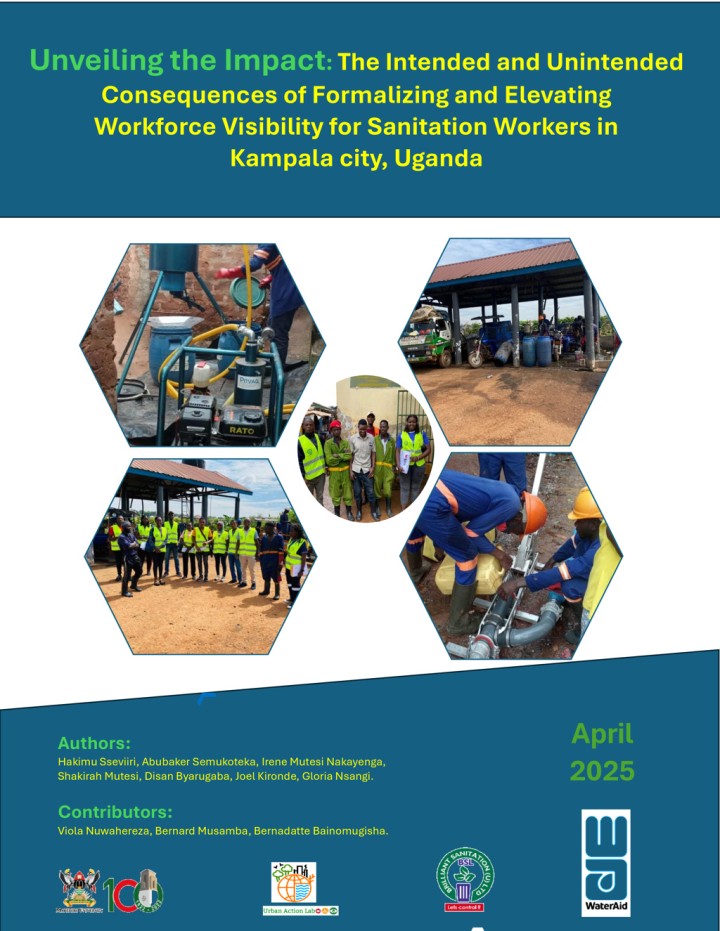
Hakimu Sseviiri; Abubaker Semukoteka; Irene Mutesi Nakayenga; Shakirah Mutesi; Disan Byarugaba; Joel Kironde; Gloria Nsangi (2025) Unveiling the Impact: The Intended and Unintended Consequences of Formalizing and Elevating Workforce Visibility for Sanitation Workers in Kampala city, Uganda
Sanitation services are pivotal not only for enhancing public health but also for fostering the productivity of urban systems, particularly as cities continue to expand. Amidst efforts by public, private, and civil society actors to engage the sanitation sector through decentralized and small-scale service provision models, significant challenges related to workforce welfare, legitimacy, and adequate financing persist, underscoring the need to recognize and support the […]
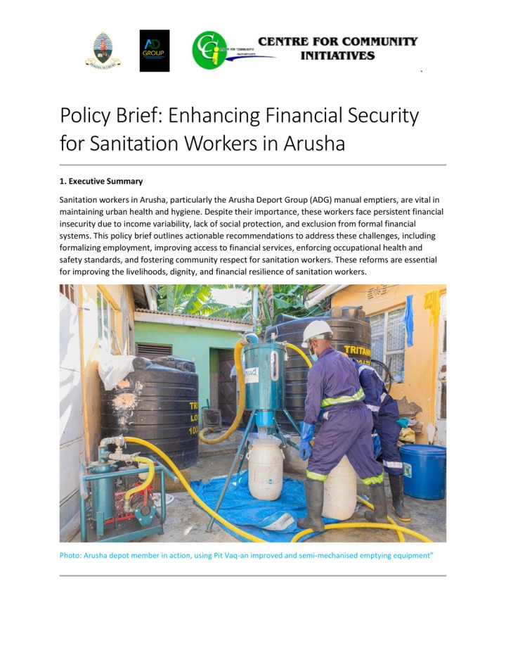
Center for Community Initiatives () Policy Brief: Enhancing Financial Security for Sanitation Workers in Arusha
Sanitation workers in Arusha, particularly the Arusha Deport Group (ADG) manual emptiers, are vital in maintaining urban health and hygiene. Despite their importance, these workers face persistent financial insecurity due to income variability, lack of social protection, and exclusion from formal financial systems. This policy brief outlines actionable recommendations to address these challenges, including formalizing employment, improving access to financial services, enforcing occupational health and […]
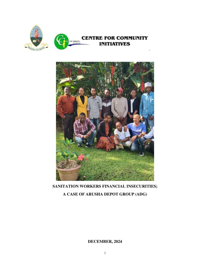
Center for Community Initiatives (2024) Sanitation Workers Financial Insecurities A Case of Arusha Depot Group (ADG)
Sanitation work in Arusha plays a critical role in maintaining urban health and hygiene, but it has historically been underappreciated and, at times, stigmatized. The sanitation workers, oftenengaged in manual emptying, street sweeping, and sewer system maintenance, belong to an informal workforce that faces significant challenges, particularly financial insecurity and lack of recognition. This study provides a comprehensive analysis of the financial insecurity faced by sanitation […]
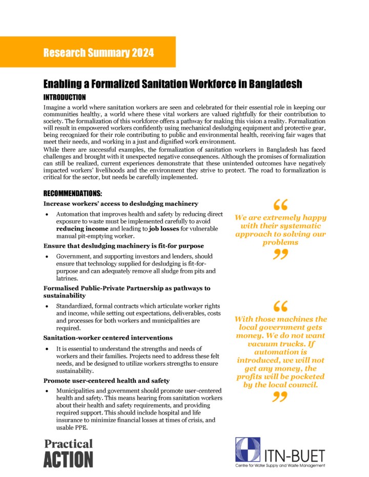
ITN-BUET Centre for Water Supply and Waste Management (2024) Enabling a Formalized Sanitation Workforce in Bangladesh Research Summary
Imagine a world where sanitation workers are seen and celebrated for their essential role in keeping our communities healthy, a world where these vital workers are valued rightfully for their contribution to society. The formalization of this workforce offers a pathway for making this vision a reality. Formalization will result in empowered workers confidently using mechanical desludging equipment and protective gear, being recognized for their […]
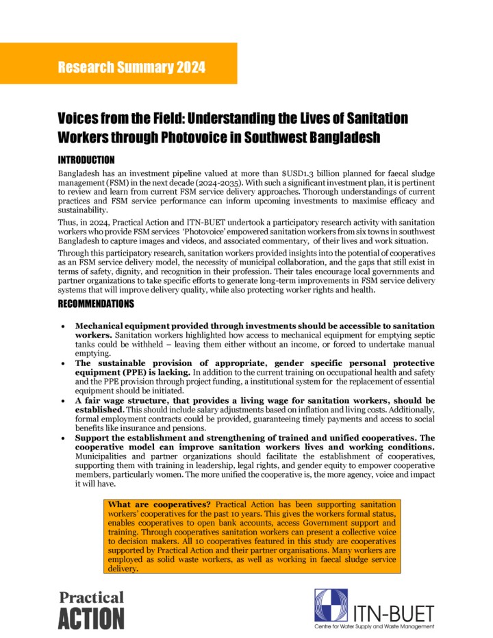
ITN-BUET Centre for Water Supply and Waste Management (2024) Voices from the Field: Understanding the Lives of Sanitation Workers through Photovoice in Southwest Bangladesh Research Summary
Bangladesh has an investment pipeline valued at more than $USD1.3 billion planned for faecal sludge management (FSM) in the next decade (2024-2035). With such a significant investment plan, it is pertinent to review and learn from current FSM service delivery approaches. Thorough understandings of current practices and FSM service performance can inform upcoming investments to maximise efficacy and sustainability. Thus, in 2024, Practical Action and […]
Viva Con Agua (2023) WASH IT! The Manual for Pandemic Resiliance
Dance has the power to transform, connect, and bring people together. It does so through expression and movement. Beyond celebration, dance is used in various contexts for learning, communication, mobilization, and spiritual practices. Whether young or old, or with different physical abilities, all members of a community can take part. In a development context, dance can be a powerful tool for conveying and spreading messages. Because […]
Viva Con Agua (2021) The WASHHEROES On Their First Mission
Viva con Agua sees sport, music, and art as universal languages or forms of communication that everyone can understand, regardless of the language they speak. They use these universal languages as educational tools to create a joyful and engaging approach to topics like clean drinking water, hygiene, and sanitation. With support from the German Federal Foreign Office, Viva con Agua developed the comic WASHeroes. […]
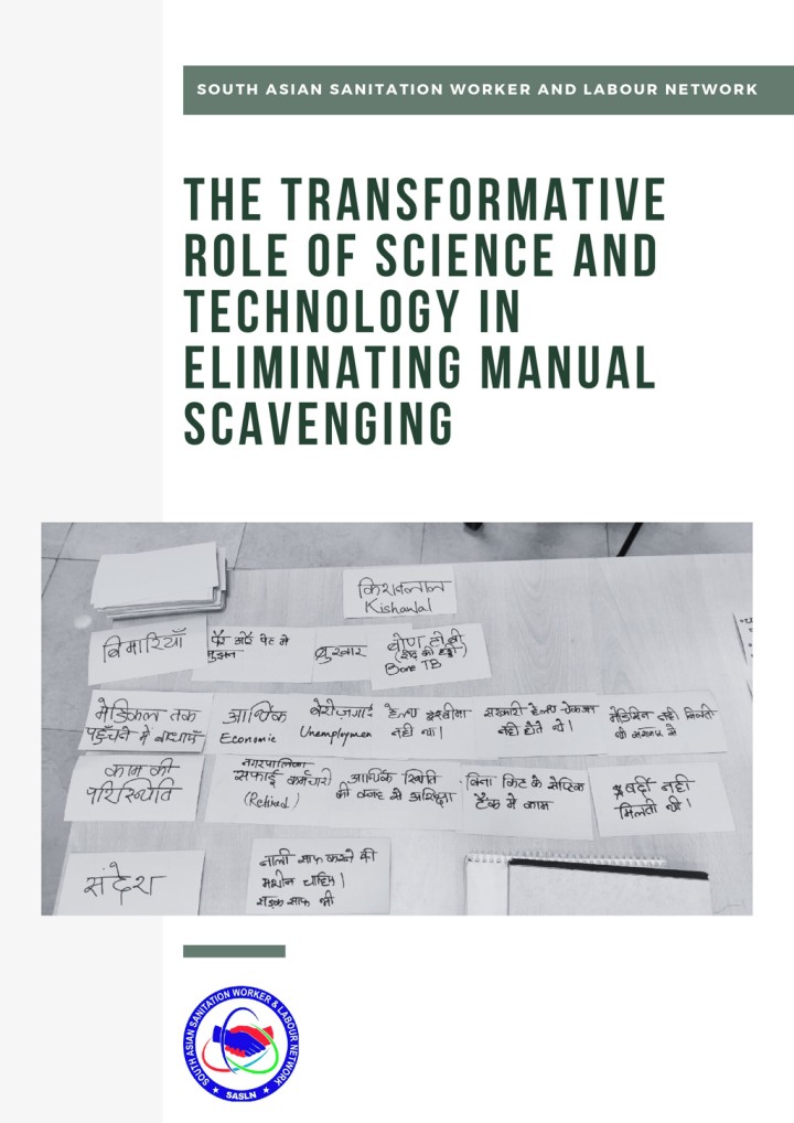
SASLN (2024) The Transformative Role of Science and Technology in Eliminating Manual Scavenging
Indian society is marked by deep- rooted complexities, where identities are shaped not only by religion, and class but also by caste that creates social hierarchies. Among the most dehumanizing manifestations of this structure is the practice of manual scavenging, where one person is forced to clean another' s waste. This report by the South Asian Sanitation Worker and Labour Network (SASLN) explores how science and technology […]
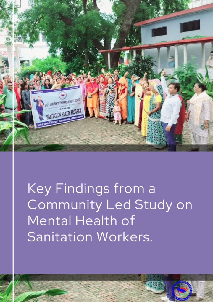
SASLN (2024) Key Findings from a Community Led Study on Mental Health of Sanitation Workers
Sanitation workers in India, predominantly from marginalized communities, play a critical role in maintaining public health and ensuring the cleanliness of urban and rural environments. However, despite their essential contributions, they endure deeply entrenched social, economic, and psychological challenges that severely affect their overall well-being. The report assessed awareness, accessibility, and affordability of mental health support and identified systemic gaps in care and employer practices.
Water for Women (2022) Learning Note 1: Engaging with the people and actors within WASH systems
Water for Women aims to improve the health, gender equality and wellbeing of Asian and Pacific communities through strengthened national and subnational water, sanitation and hygiene (WASH) sector systems with greater emphasis on gender and social inclusion, safely managed WASH and water security. This learning note emerges from discussions under Water for Women’s systems strengthening Learning Agenda initiative, which reiterates that WASH systems are made […]
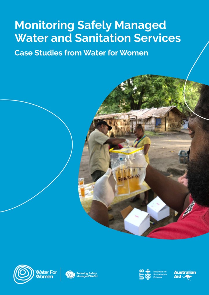
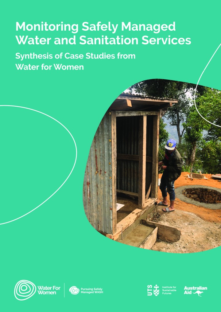
Water for Women (2022) Monitoring Safely Managed Water and Sanitation Services Case Studies from Water for Women
Developed under a Learning Agenda initiative led by the University of Technology Sydney Institute for Sustainable Futures, this compilation and synthesis of Water for Women case studies presents a range of contexts, approaches and experiences on monitoring safely managed water and sanitation services in urban and rural areas across the Asia-Pacific region, including Solomon Islands, Indonesia, Cambodia, Bhutan and Papua New Guinea.
Water for Women (2022) Monitoring Safely Managed Water and Sanitation Services Synthesis of Case Studies from Water for Women
Developed under a Learning Agenda initiative led by the University of Technology Sydney Institute for Sustainable Futures, this compilation and synthesis of Water for Women case studies presents a range of contexts, approaches and experiences on monitoring safely managed water and sanitation services in urban and rural areas across the Asia-Pacific region, including Solomon Islands, Indonesia, Cambodia, Bhutan and Papua New Guinea.
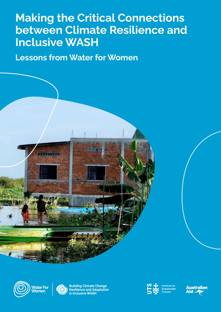
Water for Women (2021) Making the Critical Connections between Climate Resilience and Inclusive WASH Lessons from Water for Women
As part of a learning initiative under Water for Women’s Learning Agenda, This report features 12 vignettes from Water for Women partners working on projects in the Asia-Pacific that are helping to build climate resilience through inclusive and sustainable WASH programs and research. It also outlines recommendations from the partners for strengthening climate resilience for inclusive WASH at different levels.
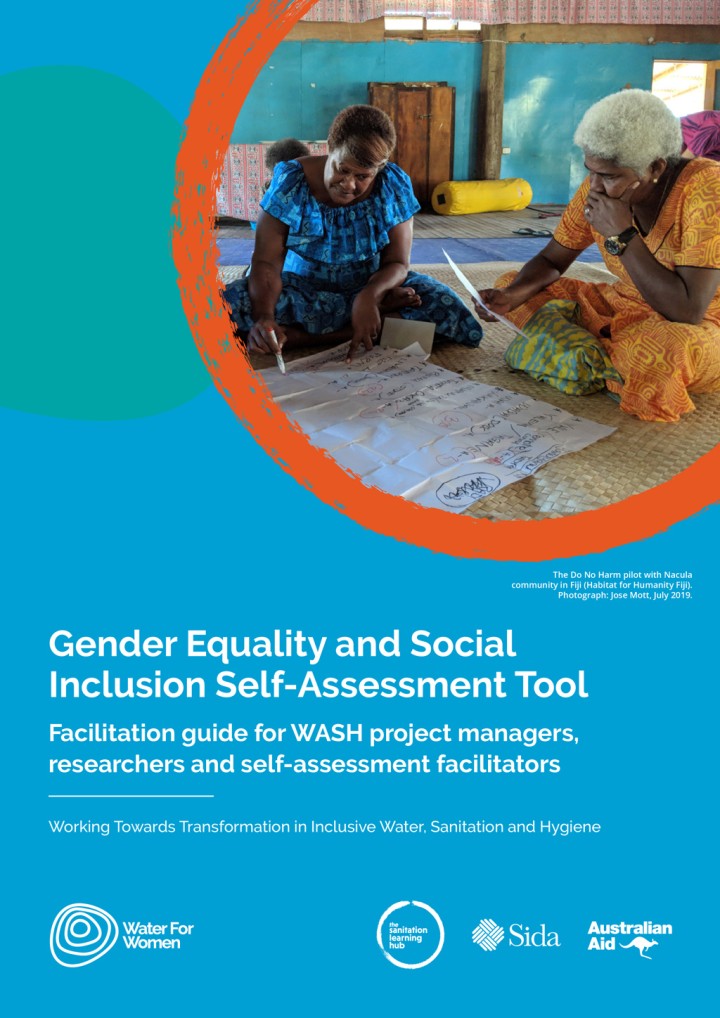
Water for Women (2021) Gender Equality and Social Inclusion Self-Assessment Tool
The GESI SAT represents the culmination of years of collaborative work across the Fund, and has been co-created by Water for Women and the Sanitation Learning Hub. It is a facilitation guide for WASH project managers, researchers and self-assessment facilitators to support individual and collective reflective practice on the extent and quality of gender equality and social inclusion work in WASH projects and organisations.
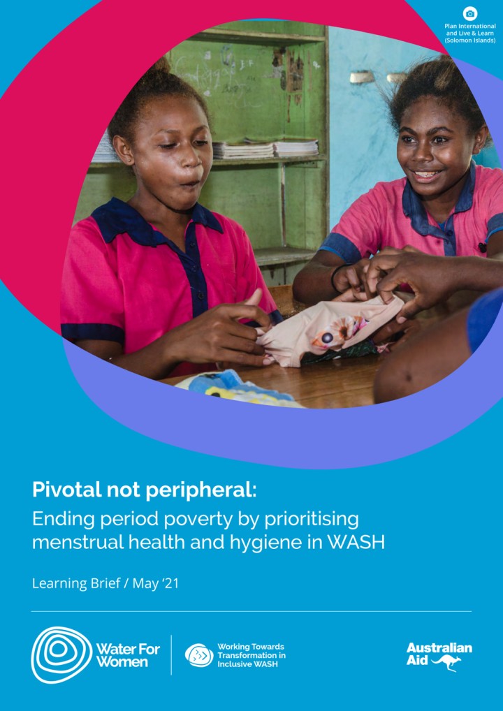
Water for Women (2021) Pivotal not peripheral: Ending period poverty by prioritising menstrual health and hygiene in WASH
The time is over for peripheral programming on menstrual health and hygiene (MHH) in WASH. It is now pivotal, particularly given the context of COVID-19 restrictions, which have exacerbated period poverty and decreased availability and access to hygienic facilities, sanitary products and information to support stigma-free safe and dignified menstruation. Launched on Menstrual Hygiene Day 2021, this Learning Brief shares learning drawn from 14 Water for […]
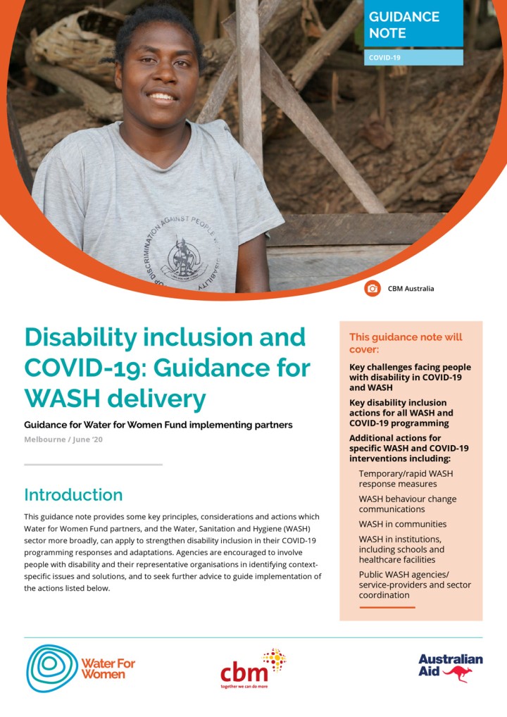
Water for Women (2020) Disability inclusion and COVID-19: Guidance for WASH delivery Guidance for Water for Women Fund implementing partners
Around 15% of the world’s population has a disability. People with disability are at increased risk of contracting COVID-19 and are more likely to be disproportionately affected by the health, economic and social impacts of the global health pandemic. Developed by Water for Women and CBM Australia to provide some key principles, considerations and actions which Water for Women Fund partners, and the WASH sector […]
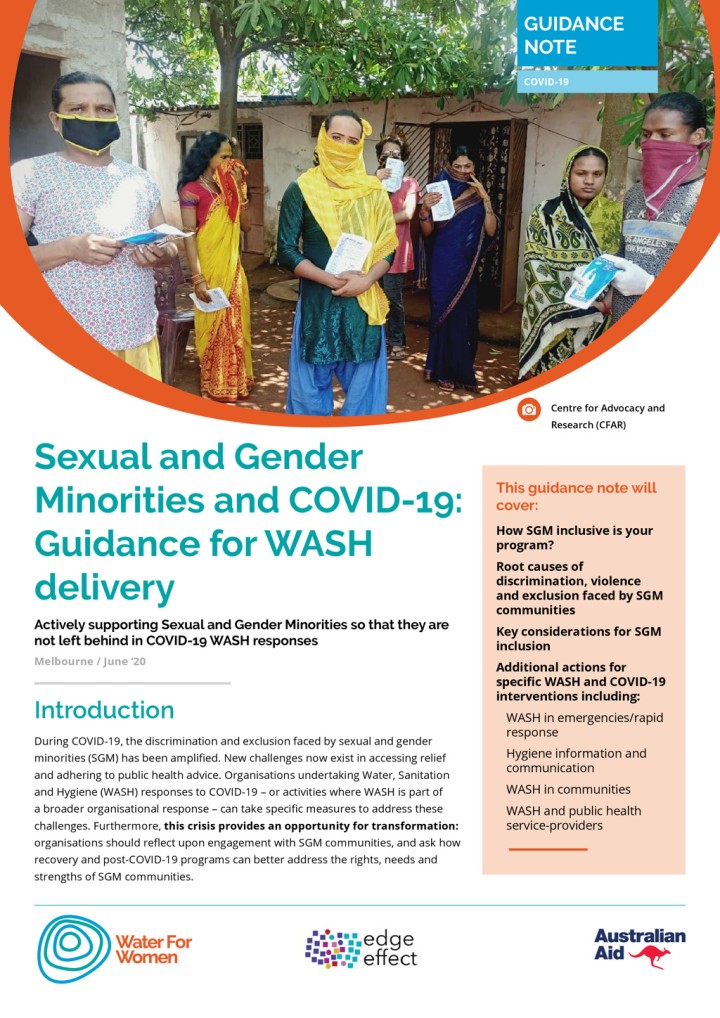
Water for Women (2020) Sexual and Gender Minorities and COVID-19: Guidance for WASH delivery Actively supporting Sexual and Gender Minorities so that they are not left behind in COVID-19 WASH responses
Developed by Water for Women and Edge Effect to provide some key principles, considerations and actions which Water for Women Fund partners, and the Water, Sanitation and Hygiene (WASH) sector more broadly, can apply to strengthen sexual and gender minority inclusion in their COVID-19 and post-COVID-19 programming responses and adaptations.
